Tag Acht

We woke around 7am in our Bavarian lodge and made breakfast of eggs, toast, coffee, and a few of the Emmental Pringles that we picked up from the store. Our mission was to tour Neuschwanstein Castle before the masses. We already had tickets, so it was a matter of driving over, getting the printed tickets, and hiking up. We had to stop several times to take pictures because the view was amazing as the light climbed over the alps and lit the castles. While waiting for tickets, I was able to snag some places from Ukraine, Andora, and Lichtenstein. (yes, dork alert)
Sunrise at Neuschwanstein
Untitled

DSC_0583

We completed the tour through the castle, which is incredibly ornate. The girls seemed to be impressed as well. I think the king’s cave retreat was best, but so much of the castle just displays a level of craftsmanship and opulence that you can only find in castles or the homes of megalomaniacs. But it sure is fun to enjoy it as an onlooker. At least when it’s done well. Oh, no photos in the castle. Because they want to sell books and postcards and stuff. So I took some from outside.
Pano of Neuschwanstein entrance

Horse knocker
Alpsee from Neuschwanstein

(more from Alpsee later)

Family at Neuschwanstein

After the tour, we walked up to Marienbrücke (Mary’s bridge) for an even better view of the castle. It was packed compared to our visit 21 years ago. In fact, tour busses were letting off throngs of tourists with the expectation that they walk down towards the castle. But something was lost in translation because as I crossed the bridge an started climbing the somewhat challenging trail up the steep ridge, I ran in to a big group of Chinese tourists, aged 40-80, none of whom were wearing appropriate shoes. Also, they were standing on a cliff edge while taking pictures with full-sized tablets. I eventually ran in to someone who spoke English. They were asking if this was the trail to the castle (which it should have been obvious that it wasn’t). After that, a whole platoon of tourists turned around and headed back in the right (safe) direction. The view is stellar, and worth the hike. Though you may have to fight for a spot to take pictures.
Location, location, location

Afterwards, we headed back to Füssen and had lunch at a small cafe named Via. Salad, antipasta, burger, and sweet, sweet Bavarian beer. Then we wandered around town shopping and exploring the lovely village. I was tempted to get some used lederhosen, but chickened out. Hilary did find a dirndle for her trip to München in September. And while wandering the streets, I heard singing and we followed it to a church where we were able to take in a concert.

Streets of Füssen

Douchy lederhosen
Tuba for tips

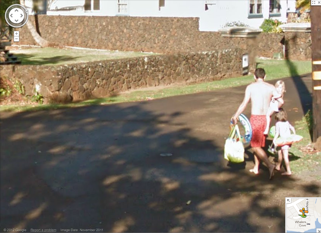
We headed back to our rental and discussed our plans. We wanted to swim somewhere and Fritz suggested we go to Alpsee instead of Obensee (we were able to reuse our parking pass from earlier). While it was threatening rain, we shed our clothes and dove in. The water felt great, and we ended up swimming near swans. MG made friends with a girl who had previously lived in the US (and spoke english) but now lived in München. We enjoyed ourselves for some time until it started to pour rain. We changed clothes in the parking lot before heading to Schloßbrauhaus for dinner. The rain persisted, but we were able to sit under an awning with a great view of the castles and have dinner. The women ordered Wienerschnitzel with Allgau sauce, and Andy misread the menu/specials and ended up with liver and onions. The kids got kartoflen and weißwurst (which Andy stole bites of).
Swans in Alpsee

MG in the skylight

Afterwards we headed home and crashed. Hard. after watching a lovely, cloudy sunset.

Found on Google Street View

Last November, while the girls and I were hobbling barefoot to the beach, we encountered a Google Street View car making it’s rounds. The car is odd enough looking that the girls were curious about it. When I explained what it was doing, and that in roughly a year, we’d be able to see ourselves on the internet, they didn’t quite get it. Well, the photos finally went live, and there are several different views of us as we meander down the street while the car tries to capture the awkward dead end street.


View Larger Map

This was the first time that these streets had been mapped, so I suspect that we’ll be there for a while. Regardless, I screen-capped a few different shots to show the girls later. It might be one of those “and this was the first time you encountered the robots” kinds of talks.

Geographic Midpoint

I was trying to figure out the most geographicly convenient place to have an off-site staff meeting and got distracted trying to find the temporally adjusted geographic midpoint for my life. GeoMidPoint gives you a nice Google maps API interface to add locations and time spent to calculate. I’ve been moving west consistently since I was born, and it appears that the geographic midpoint, weighted by time, is in the Salmon River north of White Bird, Idaho.

Geographic Midpoint of my life  (roughly White Bird, ID)

Beacon Rock is a damn cool trail

Ella, Maddie and I took off after cartoons and breakfast and drove east on SR14 (Washington side of the Columbia) to Beacon Rock State Park. I’d seen some cool pictures of the trail, and frankly, they didn’t do the trail justice. We got to the trailhead a little after 9am and after adding several layers (it was cool and windy), we started upwards. Ella is rather fearless on the trail and I kept having to ask her to slow down, not because I cared, but because I could sense Michelle scowling.

The trail essentially winds up a cliff, zig-zagging up the most approachable route, and occasionally doubling back over itself on a bridge. The trail is surprisingly easy, but it’s still a pretty steep climb up. It was easy enough that most of the people we saw were not “hikers,” but they all seemed to get the same enjoyment from the excellent views of the river, east to the Bonneville Dam, and west towards Washougal and Portland.

We hit the top and had a picnic. It was only 10am, but I couldn’t argue with the girls who thought it was the perfect place for some sandwiches. It was – even for simple PB&J. We played on top for about 30 minutes before winding back down. Madeline finally insisted on walking, and made it about half-way down the mountain before I sensed Michelle’s apprehension about the exposure.

I’d recommend the hike without any hesitation. So would Ella.

To sum things up

This is excerpted from the concluding remarks in my thesis:

Lastly, I postulate that if this research was repeated using a tool like Google Earth instead of a non-interactive web map that was specifically designed for children, the results would be different. The map and layers used in this test were designed to complement each other when combined. In a tool like Google Earth, the individual data layers come from a variety of sources and are not prepared with combinations in mind. I predict that maps in Google Earth would become more challenging to use, and response times would increase as layers were added. I suspect that this would be the case for adult map-users as well. Since there is currently no cartographer or designer curating the combination of layers, the haphazard symbology, changes in scale, differences in data quality, a poorly designed key, a mish-mash collection of data provider logos, and the scourge of auto-label placement would result in a map equivalent of Frankenstein’s monster, not in a learning and exploration tool.

Yeah, i’m getting a little tired.

Early Results at Oregon Academy of Science

This past Saturday morning I presented the early findings of my thesis work at the Oregon Academy of Science annual meeting. Despite the 8am presentation, the whole thing went well. My advisor encouraged me to do the presentation, not because he’s the section chair, but to give me an opportunity to practice for my coming defense this Spring. Also, it forced me to prepare a consumable explanation of what I’ve been doing the last couple years.

The presentation was a quick 15 minutes, but I think I was able to distill the results so far in to something that made sense to the audience. I received a number of great followup questions, and was happily able to respond to all of them. My advisor later said he was impressed at the presentation which in some way could be taken as a jab, but he’s not seen my findings yet. The draft I have now (and should be working on) is rather crude. But I should get back to that.

Chicago surprise

Andy and Michelle at Wrigley FieldA week before my birthday, I received an e-mail from my wife at work saying “don’t plan on being at work from Sept22-24.” I snapped back “I can’t miss work during the first week of the term with all that is going on. Plus, my dad and I are going to Primus on the 22nd.” A few minutes later, an annoyed e-mail came in that said (paraphrasing): “Primus was a ruse, your boss and coworkers have known about this for months, and they just want to make sure your desk is clean before you go. The only reason I’m telling you is because a lot has changed since the plans were originally made.”

Well, the morning of my birthday, I walked the girls and dogs around the block and got back to find my mom and wife getting the car ready, and my mom started driving us in the direction of the airport. I hadn’t seen the luggage or anything, but when we pulled up to the airport, Michelle was crying and telling the girls she’d miss them and call them. Surprise number 2 – the trip would be sans children! (try not to sound too excited…) Then, as we were self-checking in for the flight, Michelle implored me to check my wallet. It seemed a little fatter, but as I opened it, right in front were 2 tickets to that night’s Cubs game vs. San Francisco… At Wrigley Field.

I’ll spare you the travel details (no kid!) but we arrived in Chicago, took the train to the hotel, got back on a train to Wrigley, and had just bought some ball park sausages when the game-related events started to wind up. My wife the birthday ninja pulled of another big surprise, and here we were just a few hours later sitting in Wrigley Field watching the Cubs. And as an added bonus – they actually won. It was surreal – genuine harvest moon rising from behind the rooftop bleachers behind right field, Buddy Guy throwing out the pitch and leading the 7th inning stretch, drinking Old Style and eating polish sausage, and watching my first Cubs game and game at Wrigley. It was awesome.

And that was only the first day. (Though we were up pretty late that night exploring, then trying to find some food.) Day 2 we took a boat tour put on by the architectural society, walked to Millenium park, hit the top of the Willis (aka Sears) tower, walked back uptown, then met Hilary (yes, my sister was there too) and Avery for dinner in Wrigleyville at a burger bar. Then, we grabbed a beer at the Map Room before heading separate ways.

The architectural boat tour was very entertaining and very satisfying. I consider myself a bit of an armchair architectural critic, and Portland largely doesn’t cut it when it comes to major architectural developments of the last century. Sure, we have some wonderful buildings, and we have what is considered to be the first (rhymes with worst) postmodern building, but so much of the Art Deco styling can only be found as facades on smaller buildings, many on the east sider of the river along Sandy. I’ve never been too keen on Modernist architecture. I get it, and seeing it done well certainly helps. In fact, it’s hard not to see the lobby of some of these massive buildings and not imagine the clothing and conversation of people walking to and from the elevator when these buildings were new. And, more recently, I’ve discovered that I like what a modernist building does to a skyline when compared to the overly busy and detailed facades of the post-modern stuff coming up now. Anyway, it was wonderful to see the birthplace of the skyscraper and see the history as it solidly sits above the river. And then to go to the top of buildings that stand nearly twice as tall as ours in Portland, a freshman of a city by comparison.

Day 3 we started the morning at Shedd Aquarium, which I must say has one of the most amazing grand hallways anywhere. The marble on the walls looks like waves and sea foam, the ornamentation around the room and on the light fixtures was all decorated to resemble or show sea life, and it certainly made waiting to buy tickets much easier. The museum’s Amazon/Freshwater displays were probably my favorite part because they were so unlike any of the aquariums I’d been to before. The pacific northwest display was a good attempt, but we’ve been spoiled by the Newport and Seattle aquariums. And the Invasive Species room was a treat for me. I only wish they could have and some lamprey’s in the tank.

After a short lunch we immersed ourselves in the Field Museum. Again, there’s a sense of paternalism that permeates this place, especially among the older exhibits that fits the era, but now seems kind of, well, bully-ish. That being said, I appreciate their work and their absconding away from around the world with fascinating (I’m sorry, they purchased their collection, right) relics, animals, and information. Some of the animal displays were similar to those in the Hastings Museum that I loved to visit with my grandparents growing up, but the scale and variety of the field museum is, frankly, overwhelming. Five hours was not enough, and after several hours, you’re kind of saturated. I’d love to come back again – if only to stand in the great hall. It’s amazing. Even without the 67 million year old broad menacing everyone.

The afternoon was sunny and surprisingly clear considering what was supposed to be a rainy day. We decided to grab drinks in the Hancock building and even got window seats on the west side. It was a great place to watch the sun set, and frankly, the drinks weren’t as expensive as I had expected. We had sushi for dinner (I know, what were we thinking?) and tried to clean our palates afterwords with some lovely Two-hearted ale.

The 4th day was our last, so we wandered by foot out to the waterfront, down to the Navy Pier, then in to town for a last stroll through. We tried to do some shopping but realized that all the stores were the same, prices were the same, and at home, we could skip sales tax. Yeah homogeneity.

I managed to squeeze a lunch trip to Big Star for our departing lunch. It was most excellent, and was a great thing to have in our bellies before the flight home. Plus, getting there was a little indirect because of a failed address lookup in Google maps, not that I’m complaining, which allowed us to walk through some more marginal and nice neighborhoods, something that was a treat for me.

I’m kind of amazed that all this actually happened, and having worked on this post over the last couple weeks, it already seems so long ago. I’m fortunate to have such a wonderful wife and friend to give me such an awesome birthday, and to arrange it so far in advance with my boss and coworkers. Thanks.

Geographically revealing tattoos

I really enjoy tattoos that reveal geographic information about people. Just this morning when I was getting more coffee next door at New Seasons, the sales clerk had a walleye tattoo on her forearm (the image is not of the clerk). I engaged her in conversation about the tatoo:

me: Is that a Walleye on your forearm?
her: Yes! Where are you from?!?
me: Uh…. Wyoming or Nebraska, technicaly. But I know a walleye.. Where are you from, Minnesota?
her: Yes. Of course. But did you know they catch Walleye on the Columbia?
me: Yes, world record fish even.
her: I didn’t know they could live in rivers.
me: The Columbia is more of a lake anyway.
her: true.
receipt printer: ..you’re done, next customer…

I have to admit I was caught off-guard when she immediately asked me where I was from given that I knew it was a walleye, but it’s not illegal to know a little about fish.

This is now the second conversation I’ve had that was geographical and tattoo related with a New Seasons clerk. The other case was when I noticed the southern tip of what looked like Illinois poking out from under a clerk’s sleeve, and below that, what I now know is an “L” train car. The clerk said she was working on getting something inked for Portland, but said she’s drifting towards Cali before she figures out where she wants to be permanently.

In a way, these are just pictograms describing one’s personal history, but in the other, they do serve as a mental map to help the wearer find their way back home. The outline of a state is a given, but things like a state bird, fish, flag, etc.; that’s just nerdy. And I appreciate that.